You are here: Home page » Walks & circular routes
Walks and family-friendly circular routes through more than 1200 years of the town's history. Explore Dachau on various themes, such as artistic or contemporary history, or choose from routes of different lengths.
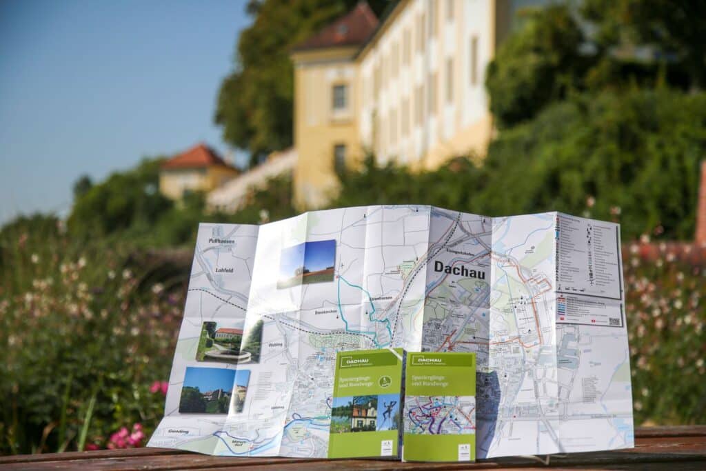
„Walks and circular routes“ including a separate map with color-coded routes is available for €2.90 at the tourist information office or can be ordered on the right.
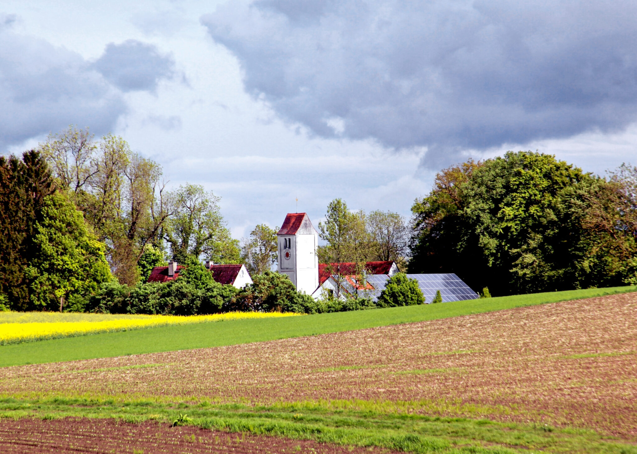
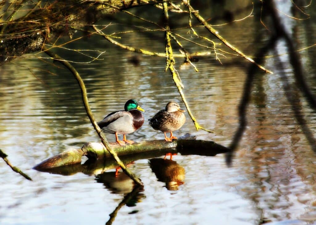
Eleven walks and circular routes invite you to explore different facets of Dachau's history: Themed trails through the former artists' colony of Dachau, circular routes on contemporary historical themes, walks through nature. Easy to moderately difficult hiking suggestions for the whole family lead through the town area and the Dachauer Moos.
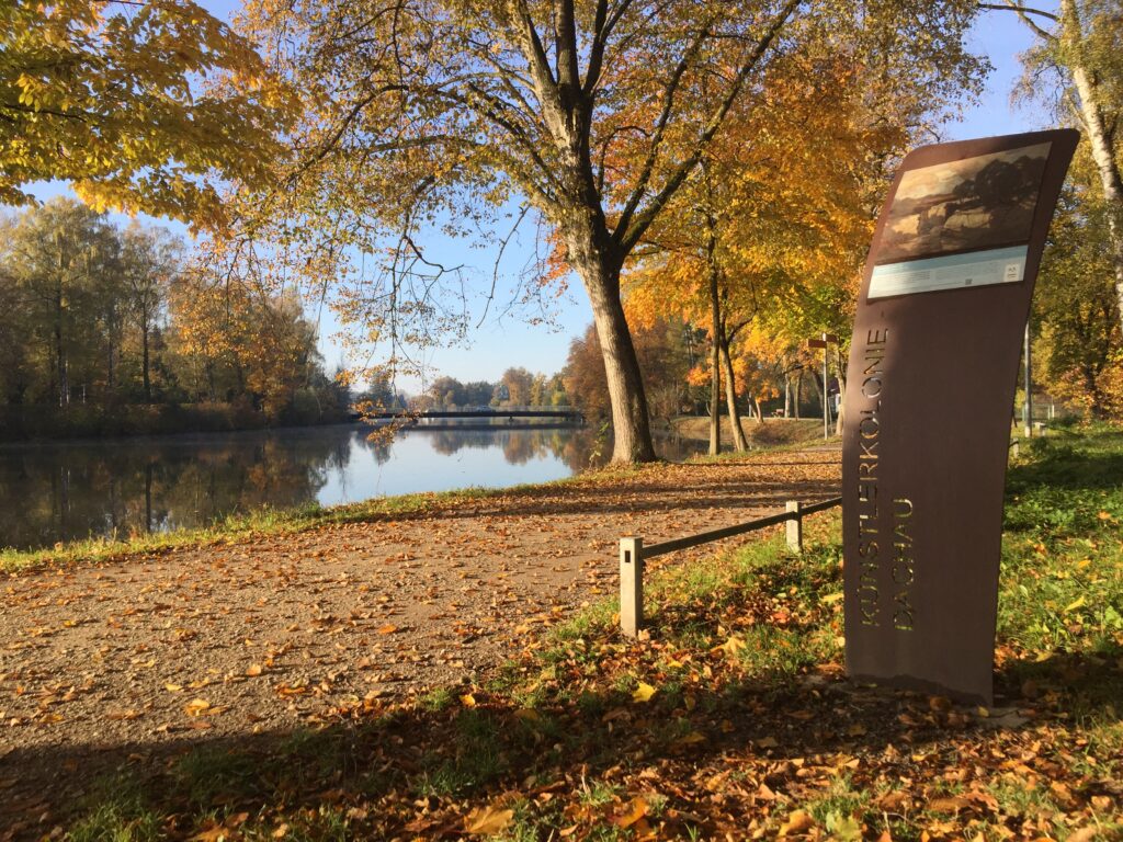
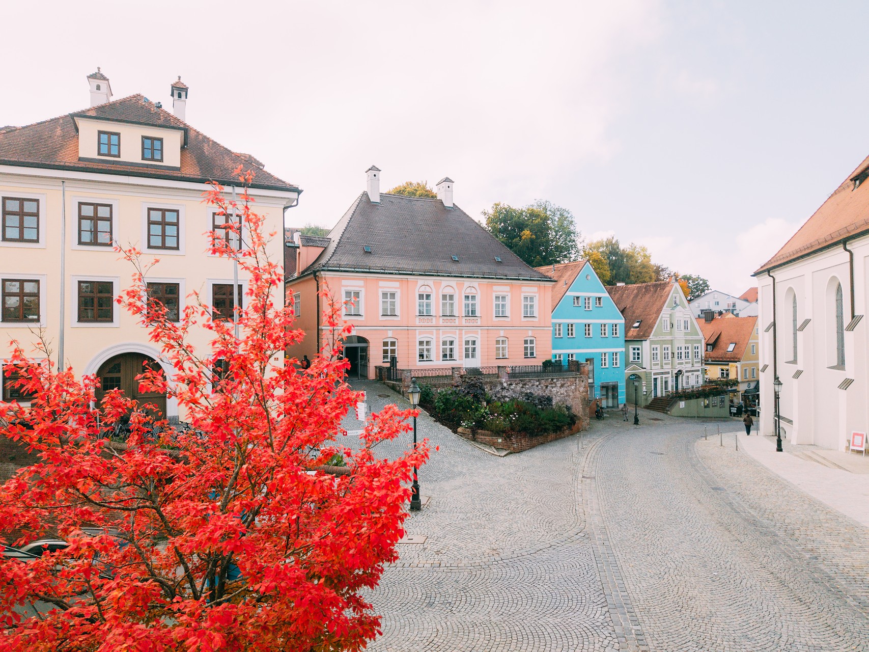
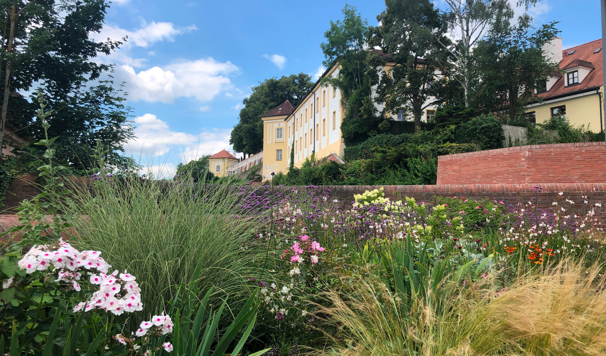
Following in the footsteps of artists from the time of the artists' colony - this is possible on two circular routes in Dachau: one artists' trail loop leads through the old town and along the Amper, a second through the Etzenhausen district, a former branch of the Dachau artists' colony. Information boards along the trail provide information about the artist, his work and the location. Flyers with directions are available from the Tourist Information or here available.
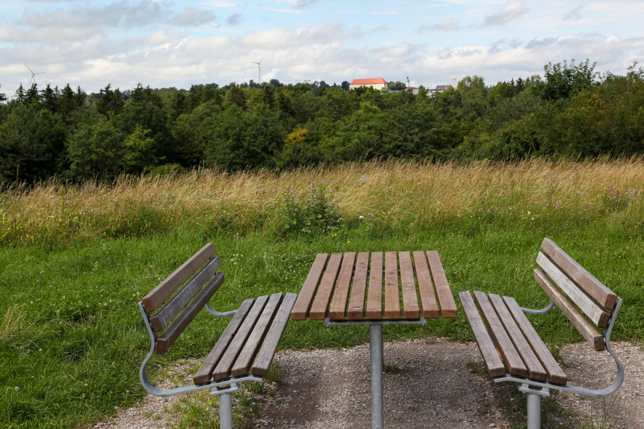
Discover Dachau on foot - varied, inspiring and at your own pace.
Our selected walking trails take you through nature, history and culture, to special Viewpoints and show you the most beautiful sides of the city.
Choose your favorite tour and start your personal discovery tour today!
Starting point: a) Parking lot at the Ludwig-Thoma-Wiese P3 or b) S-Bahn station „Dachau“
Path length: approx. 5 km
Duration: approx. 1 to 1.5 hours
Claim: easy walk along green paths and waterways
Sculptures shape the face of a city. You come across them on many corners and yet often only notice them in passing.
This tour leads along green paths and passes numerous works of art. It is designed to draw attention to the objects and provides explanations of the individual works.
A route description and interesting additional information about the sculptures in Dachau's townscape can be found in the brochure „Spaziergänge und Rundwege“.
Starting point: S-Bahn station „Dachau“
Path length: approx. 3 km
Duration: approx. 45 minutes
ClaimEasy hike. Easily accessible paths.
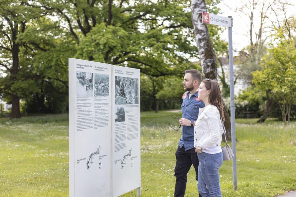
Dachau is known worldwide as the site of one of the first concentration camps, built in 1933. Over 204,000 prisoners were registered and over 41,000 people were murdered. The Path of Remembrance leads along the route that many of the former prisoners had to take and provides information on twelve panels with background knowledge and details about the sites.
Starting point: Parking lot „Ludwig-Thoma-Wiese“
Path length: approx. 7.5 km
Duration: approx. 2h 20 minutes
ClaimMedium-difficulty hike. Good basic fitness required. Easily accessible paths. Old town area with cobblestones.
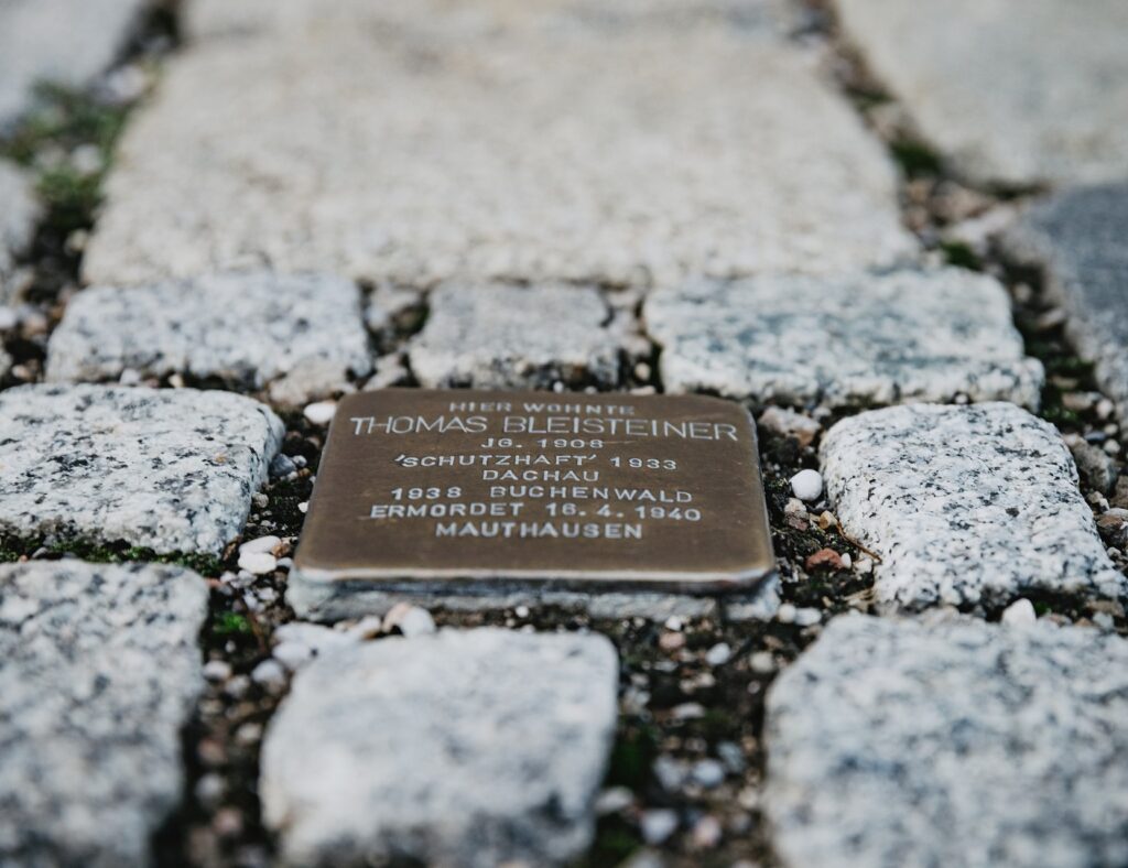
A walk through Dachau in the footsteps of some of the victims of the Nazi regime. It follows the so-called Stolpersteine. Stolpersteine are small memorial plaques made of brass that the artist Gunter Demnig places in the sidewalk in memory of the persecuted and murdered victims of the Nazi era in front of their last chosen place of residence. All people who suffered under the National Socialist regime are commemorated: Jews, Sinti and Roma, politically persecuted people, religiously persecuted people, Jehovah's Witnesses, homosexuals, mentally and/or physically disabled people, forced laborers and deserters.
Starting point: Amperbrücke bridge on Erich-Ollenhauer-Straße
Path length:approx. 1.6 km
Duration:approx. 35 minutes
ClaimEasy hike. Easily accessible forest paths.
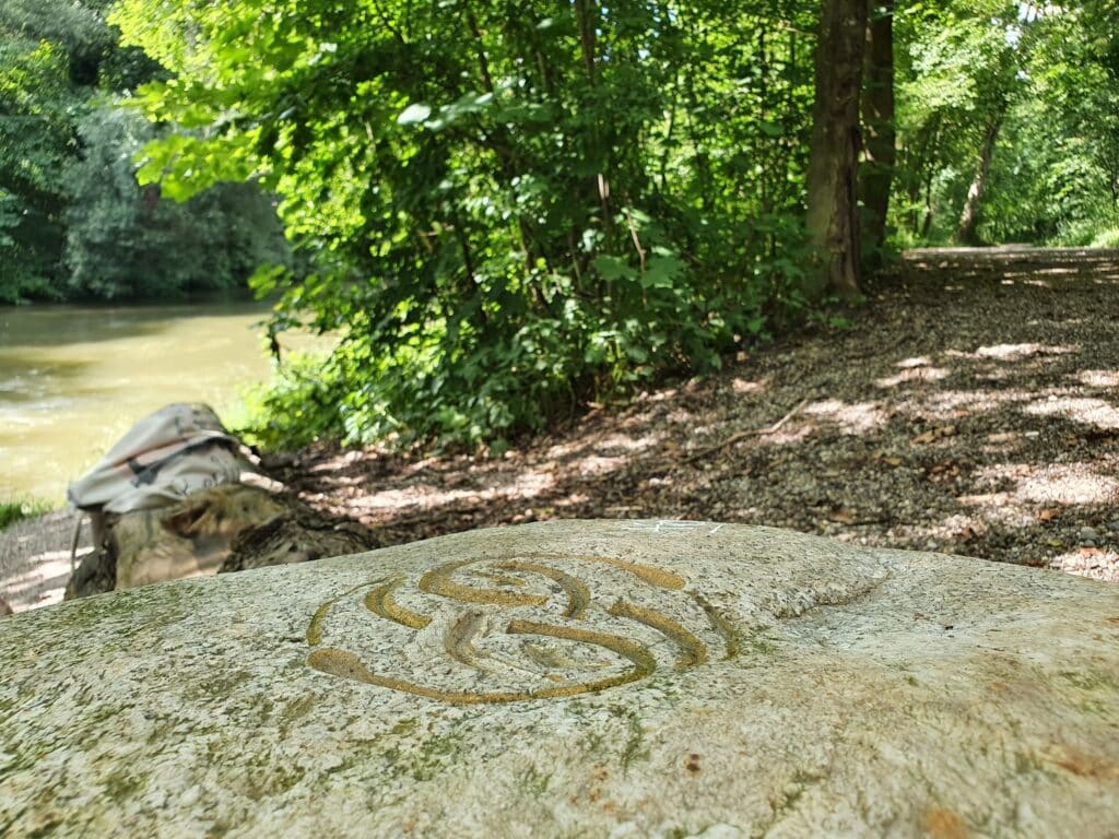
An experience trail with seven stations in the Amperwald forest in the Dachau district of Etzenhausen, not far from the „Dachau Stadt“ S-Bahn station. The short walk offers the opportunity to recharge your batteries and experience the beauty, tranquillity and diversity of nature. The fresh forest air is good for you.
Starting point: Parking lot Ludwig-Thoma-Wiese or S-Bahn station Dachau
Path length: approx. 13 km
Duration: approx. 3 hours
ClaimA very varied tour without major difficulties that offers a lot: Mossy landscape, floodplain landscape, bathing opportunities and sights worth seeing.
Out of town, past Dachau artists' houses and into the countryside.
13 km long circular hike from Dachau to Waldschwaigsee. A varied tour without major difficulties that offers a lot: Mossy landscape, floodplain landscape and bathing opportunities.
A route description and interesting additional information about the flora and fauna in Dachauer Moos can be found in the brochure „Walks and circular routes“.
Starting points: a) Parking lot at the Ludwig-Thoma-Wiese P3 or b) Dachau S-Bahn station
Path length: approx. 8 km, from the starting point train station approx. 9.5 km
Duration: approx. 1:45 to 2 hours
Claim: Easy tour in an idyllic river landscape
The nature walk along the Amper can either be done comfortably on paved paths or adventurously over hill and dale. The tour is suitable for the whole family, but requires a bit of stamina and can be divided into sections or shortened.
There is a lot to see and experience.
The route description is included in the brochure „Walks and circular routes“.
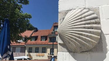
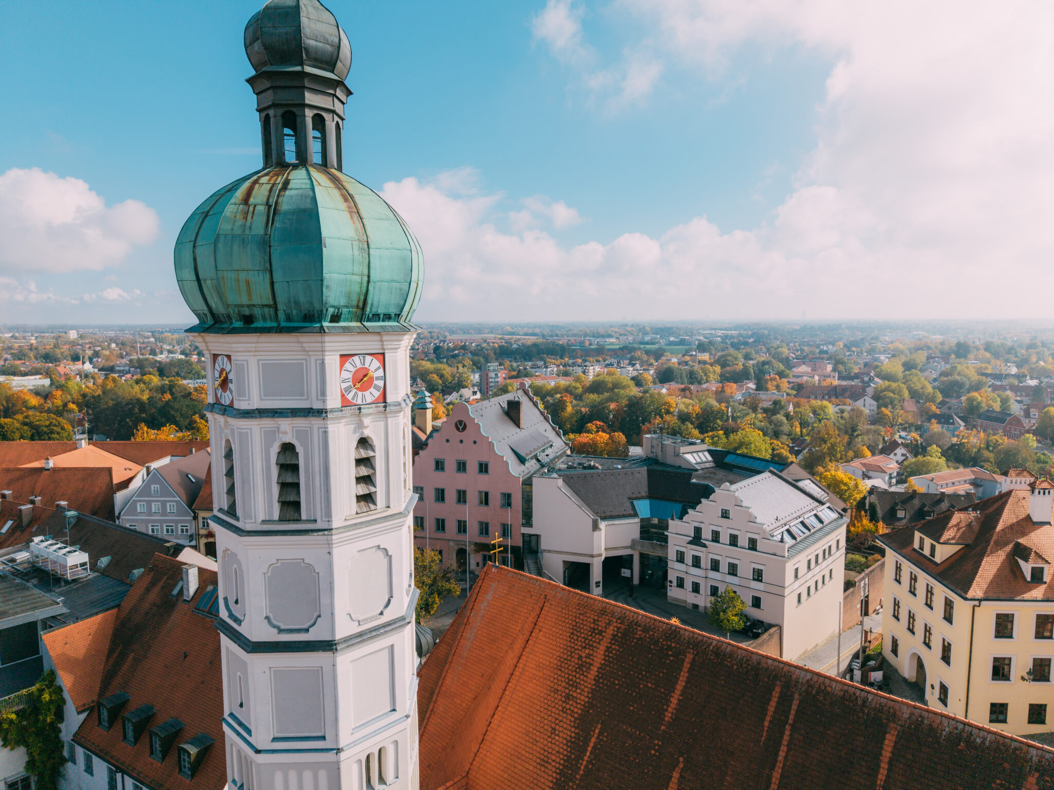
Also worth mentioning is the Way of St. JamesDachauer Land is home to a feeder route to the Munich Way of St. James. The so-called Dachau Way of St. James leads across the urban area of the large district town of Dachau with the parish church of St. James and through the idyllic Amper meadows. It leads pilgrims to Lindau on Lake Constance. The stamp for the Way of St. James can be obtained from the Dachau Tourist Information Office.
Signage: In the district of Dachau, signs in the shape of arrows point the way.
A 14 km tour that has a lot to offer: A charming forest route, beautiful views, idyllic meadows and interesting art history.
a) From the Ludwig-Thoma-Wiese, with a view of the Altstadtberg, we turn right and at the traffic lights turn right into Martin-Huber-Straße. After a short time, we cross the Amper and turn left into Amperweg.
b) From the „Dachau“ S-Bahn station (exit: Busbahnhof/Altstadt), we turn right and walk along Frühlingstraße. We cross Schleißheimer Straße, follow Martin-Huber-Straße and turn right into Amperweg just before the Amper.
Now we walk downstream along the riverbank. We cross Erich-Ollenhauer-Straße and walk through a small forest. Our path leads between the grounds of Dachau Golf Club and the Amper.
At Würmmühle, we cross under the old Roman road and pass Hebertshausen and Deutenhofen, which are on the other side of the river. On our side of the river, we walk along the mouth of the Würmm and the Hebertshausen sports restaurant. Passing the bridge (Torstraße) to Hebertshausen, we come to a fork in the path after approx. 750 m. Here we keep left and follow the riverside path to the bridge at Ampermoching.
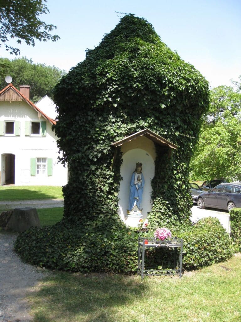
Here we leave the Amper, turn left onto Haimhauser Straße and cross the bridge. We walk through the village, turn right at the end of Haimhauser Straße and follow Indersdorfer Straße for a short distance. At the pedestrian lights, we cross to the other side of the road and turn left at the war memorial into Purtlhofer Straße, then immediately right again into Schulstraße. We pass St. Peter's Church and walk up the slope at Bründlfeld. At the top, we turn left and walk along a field path to Mariabrunn.
We leave Mariabrunn in a north-westerly direction and follow the signpost towards Röhrmoos S-Bahn station. We keep to the right and reach Unterweilbacher Straße through Bründlholz and the depression near Lotzbach. Now we turn right and follow the road until we reach Bürgermeister-Haller-Straße. Now we turn left and walk along Bürgermeister-Haller-Straße to Schönbrunner Straße. Here we turn left again and follow the path above Schönbrunner Straße until we reach the pedestrian bridge. We cross this and after a few meters reach the Röhrmoos S-Bahn station. Our hike ends here and we take the S-Bahn back to Dachau.
Worth seeing
The beautiful village church of St. Peter in Ampermoching dates back to the 15th century. The nave could also be older (1st half of the 13th century), it was extended to the west in 1839. The current interior was created around 1670. The early baroque high altar is crowned by a carved figure of the church patron St. Peter from 1670. A figure of the Virgin Mary from the 16th century is particularly valuable.
Mariabrunn is idyllically nestled in a hollow in a small wood. The tower of the small pilgrimage church rises out of the greenery, next to it there are various beautiful old houses, a brewery with a beer garden and - not to be forgotten - the fountain with the statue of the Virgin Mary. The spring it holds made Mariabrunn a place of pilgrimage from 1662, after its water supposedly cured a farmer of all his ailments. Although the importance of the village declined until the mid-19th century, it experienced a second heyday between 1863 and 1878 with the appearance of the „Doctor Farmer's Wife“ Amalie Hohenester. Today, Mariabrunn is primarily a tourist attraction.
Find the right venue for your meetings, seminars, training courses and conferences in Dachau.
The Tourist Information Office of the town of Dachau will be happy to assist you with information on a possible supporting program: